Dam Safety: Knowing Your Online Resources
Kyle Jacobs
FEMA Flood Map Service Center. This is one of the best flood-risk evaluation resources. It lets you type in any address and will display flood extents that could impact the area. Generally, these maps will show the extents of the 100-year flood or the flood that has a 1% chance of occurring every year.
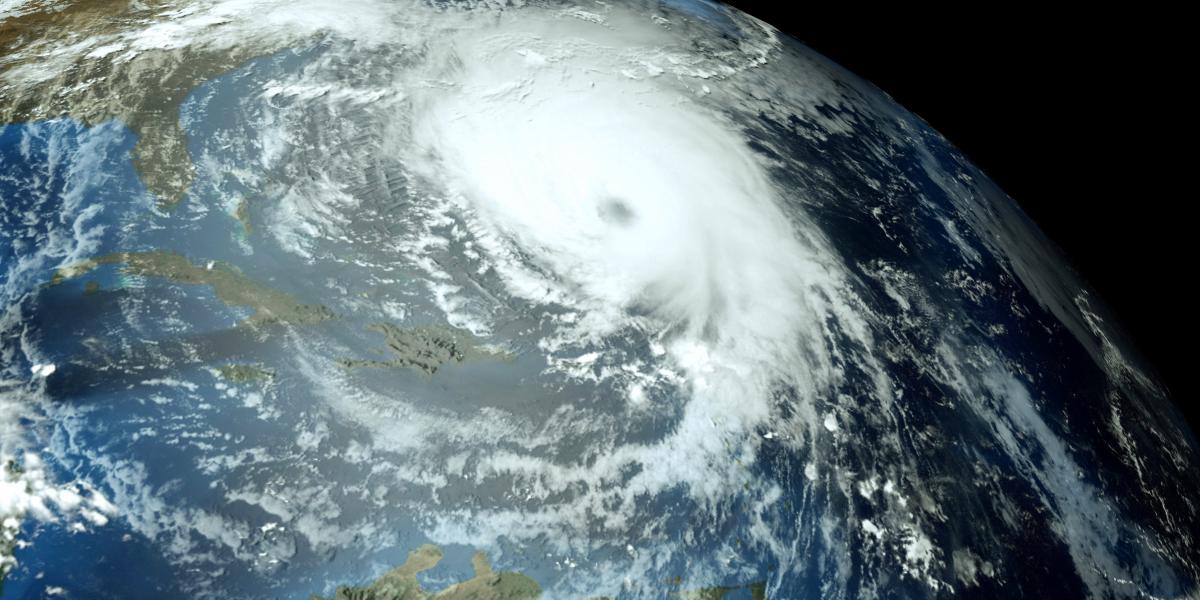
High-elevation floods usually occur due to heavy rainfalls, such as those from a hurricane; however, flows from a dam could also lead to these dangerous conditions. Knowing where local dams are and how to react if there is an emergency is very important for anyone in a flood-prone area.
 National Inventory of Dams. It can be used to find federally regulated dams and help you evaluate where your home or business is in relation to the dam. Smaller dams, however, are often not regulated, and some property owners do not even realize that they are responsible for dam maintenance. This can lead to disrepair and could expose you to floods if the dams were to breach. According to FEMA, many people do not know if they are in an area that would be affected by an upstream dam failure. There are many valuable resources related to dams and dam ownership at the Association of State Dam Safety Officials website including: workshops, case studies, basics of dam ownership, and so much more.
County Parcel Viewers. With the rise of Geographic Information System (GIS) mapping, many individual counties have made their data available for public use. The most commonly available public data on county GIS websites are tax parcels. These tax parcels define basic property boundaries and can help determine if portions  of a dam are on your property. Please note, this parcel information cannot replace an official plat survey of the property, but it is still a very helpful tool in evaluating potential dam ownership.
Risk Rating System. Evaluating your flood risk is an important step when moving. Whether it’s a new home or a new business, if you move to an area prone to flooding, then there will be hidden costs beyond the initial purchase. If a flood happens, these costs can include water damage, loss of property, or even loss of life. Flood insurance can help offset some of the costs, but flood insurance is often separate from normal insurance. Currently, flood risk is rated on the 100-year flood, however, in October 2020, the Risk Rating 2.0 system developed by the National Flood Insurance Program (NFIP) is set to offer a better insight into an individual property’s risk of flood for multiple flood events. The new risk rating system also offers flood insurance reduction credits for installing flood openings, elevating the building, and elevating machinery and equipment (such as Air Conditioning Units) above the lowest floor.