

Capture Once, Reuse Everywhere: A Smarter Approach to Dam Safety Inspections

Barrett Slate, PE
Water Resources Design Engineer
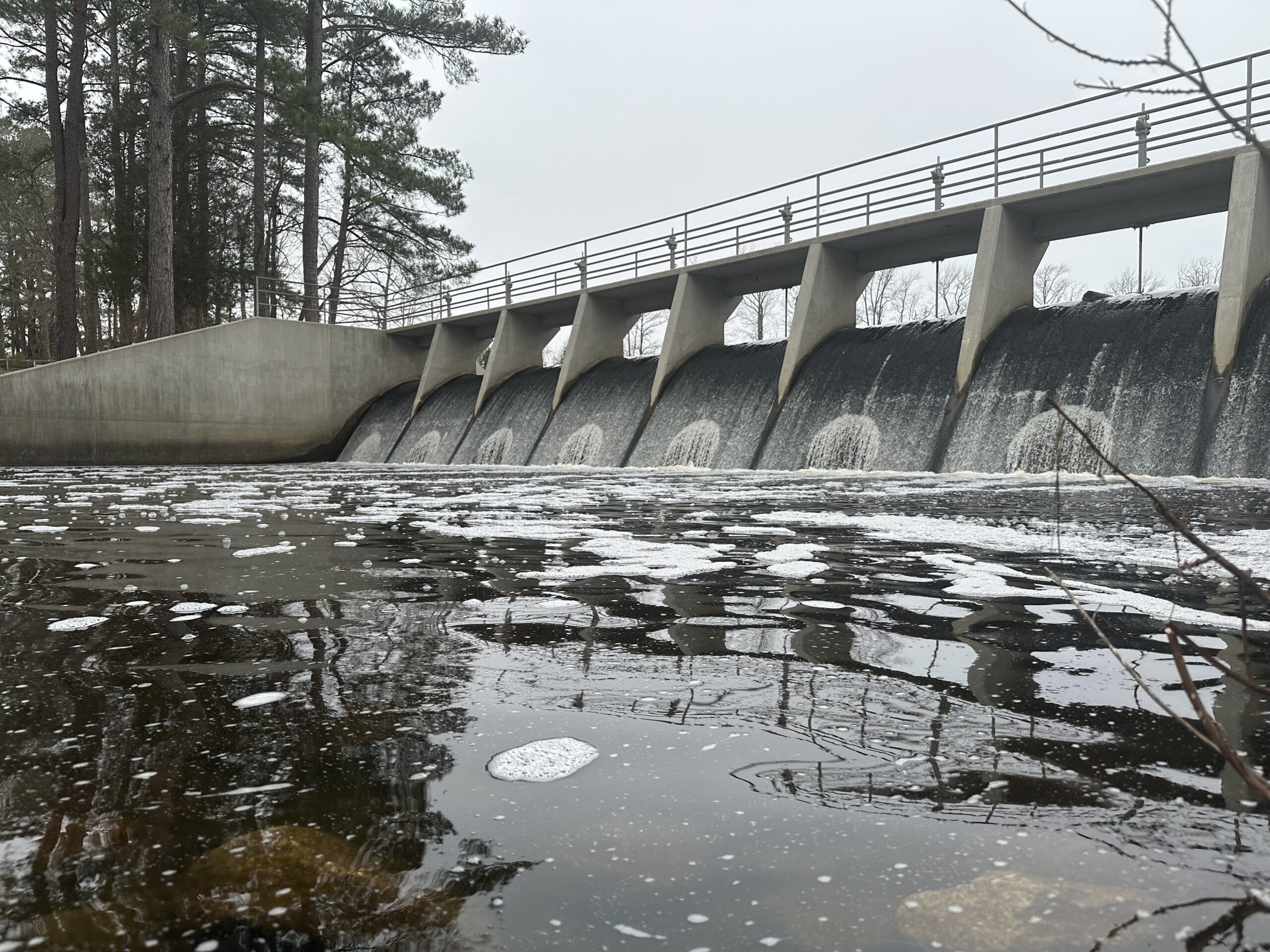
Dam safety inspections capture more than the structure’s condition on a given day. They produce critical information that can help owners and regulators track changes, identify recurring concerns and decide where follow-up may be necessary.
However, many inspection programs still rely on paper forms, separate photo files, narrative reports and manual data entry. Information often changes hands and formats several times as it moves from the field to the office before reaching a final report or database.
While that process may be effective in documenting a single inspection, broader analysis is difficult. Comparing conditions over the years across an evolving inventory of dams and inspection staff requires extra effort when findings are captured primarily in reports and written comments. Trends that could help guide program-wide decisions may get buried in individual records.
For agencies and dam owners considering digitizing their inspection process, there’s a larger opportunity beyond merely replacing paper to rethink how inspection information is collected, evaluated, stored and ultimately used.
Lessons from North Carolina Department of Environmental Quality’s (NCDEQ) recent inspection modernization efforts — in partnership with Freese and Nichols’ dams and levees experts — show how thoughtful planning can take field data from the clipboard to the cloud through a mobile GIS-powered app, making it more consistent and more useful long after the inspection is complete.

Lesson 1: Start with Consistent Observations
Technology cannot resolve differences in how inspectors describe the same condition. Programs need to establish a shared starting point by first identifying a common way to assess deficiencies and describe their severity.
- Define the conditions inspectors should document.
- Establish severity criteria.
- Give staff enough guidance to apply those criteria consistently.
NCDEQ’s Dam Safety Program applied this approach to conditions such as woody vegetation, poor grass cover, erosion, animal burrows, cracking, seepage, depressions, slides and deterioration of concrete structures. Inspectors select severity levels using guidance built into the inspection form, rather than relying on open-ended comments.
The resulting data can be compared across inspections since similar observations follow the same general structure. Professional judgment remains essential, especially when field conditions don’t fit neatly into predefined categories. NCDEQ created a rating system to give inspectors a common framework for applying that judgment.
For programs planning a similar effort: Define the data you want to collect before designing the digital form. Clear categories, severity criteria and reference examples can improve consistency regardless of the selected technology.
Lesson 2: Design for Field Conditions
A field application must work where inspectors work.
Common challenges include:
- Intermittent internet connectivity
- Limited time onsite
- The need to document conditions quickly with clear context
An app that adds unnecessary steps or relies on constant connectivity can create new headaches instead of reducing existing ones.
NCDEQ’s mobile GIS workflow accounts for these challenges through guided inspection forms featuring offline-capable data collection, photo capture and built-in validation rules. Inspectors can then record their observations, notes and scores before attaching photos to the same record.
For programs planning a similar effort: Map inspectors’ field workflow before configuring the application. Pay attention to:
- Connectivity
- Photo handling
- Number of steps required to document a finding
Lesson 3: Capture Information Once
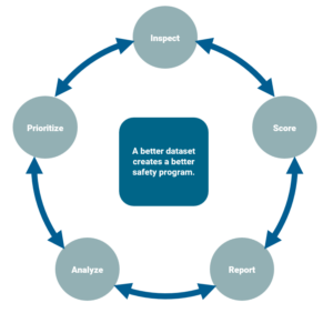 Repeated data entry adds work and creates opportunities for information to get separated from its original context. A connected workflow can reduce those handoffs while still requiring inspectors to independently evaluate current conditions during each inspection.
Existing inspection information can populate the field record, while observations and photos collected onsite remain associated with that inspection, providing additional context during review.
NCDEQ’s revamped workflow carries standardized information through collection, review, reporting and prioritization. Deficiencies recorded in the field are carried forward, along with photos and recommendations, to create review-ready reports with less rework after getting back to the office.
The principle is to capture information once and reuse it where appropriate, while preserving the context of when and how it was collected. This allows inspectors to spend less time re-entering information and more time evaluating whether conditions have changed, worsened, improved or require additional attention.
For programs planning a similar effort: Identify every place inspection data is entered, copied or reformatted. Those handoffs may indicate opportunities for a single, structured record that can support subsequent needs. At the same time, design the workflow so that previous observations inform — but won’t substitute for — the inspector’s evaluation of current conditions.
Lesson 4: Plan Beyond the Inspection
The true, long-term value of structured inspection data comes when programs can look across many records to search, summarize, map and compare information.
Consistent data can help answer big-picture questions that are harder to track through narrative text or individual reports:
- How many dams have significant vegetation problems?
- Where are seepage concerns being observed most frequently?
- How many dams are currently rated Poor or Unsatisfactory?
- Are certain types of deficiencies becoming more common?
NCDEQ’s approach allows their team to view inspection status, current condition, geographic patterns, and dams needing additional attention across their statewide inventory.
Repeated observations using the same general scoring structure enable staff to compare similar findings, review photos and discuss rating differences. Over time, program managers can use that feedback to refine the inspection criteria and the way inspectors apply them in the field.
For programs planning a similar effort: Decide which program-level questions the data should be able to help answer. Those questions should influence how inspection information is structured from the beginning.
Before You Digitize, Ask Three Questions
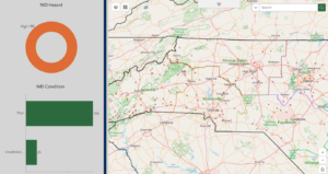 A mobile app can speed up fieldwork, but the quality and structure of the information determine how useful the inspection record will be later.
Before modernizing an inspection workflow, consider:
- Do inspectors describe comparable conditions in a consistent way?
- How often is the same information entered, transferred or reformatted?
- Can inspection records help identify changes and priorities across the full dam inventory?
A well-designed digital workflow can give inspectors and dam safety program managers more consistent, more efficient and more useful information. As that dataset grows, each inspection can contribute to a clearer picture of both individual dam conditions and the needs of the broader program.
How Freese and Nichols Can Help
Freese and Nichols is helping dam owners and operators across the country address challenges spanning from regulatory compliance to planning, analysis and design services. Our dams and levees experts bring together multiple engineering disciplines to support clients, strengthen communities and deliver award-winning solutions.
For more information about our dams and levees services, contact Murphy Parks, MHP@freese.com, or Victor Vasquez, VMV@freese.com.
Barrett is a North Carolina PE based in Raleigh who specializes in site civil design and hydrology and hydraulic analysis applied to the design of dams and levees.


